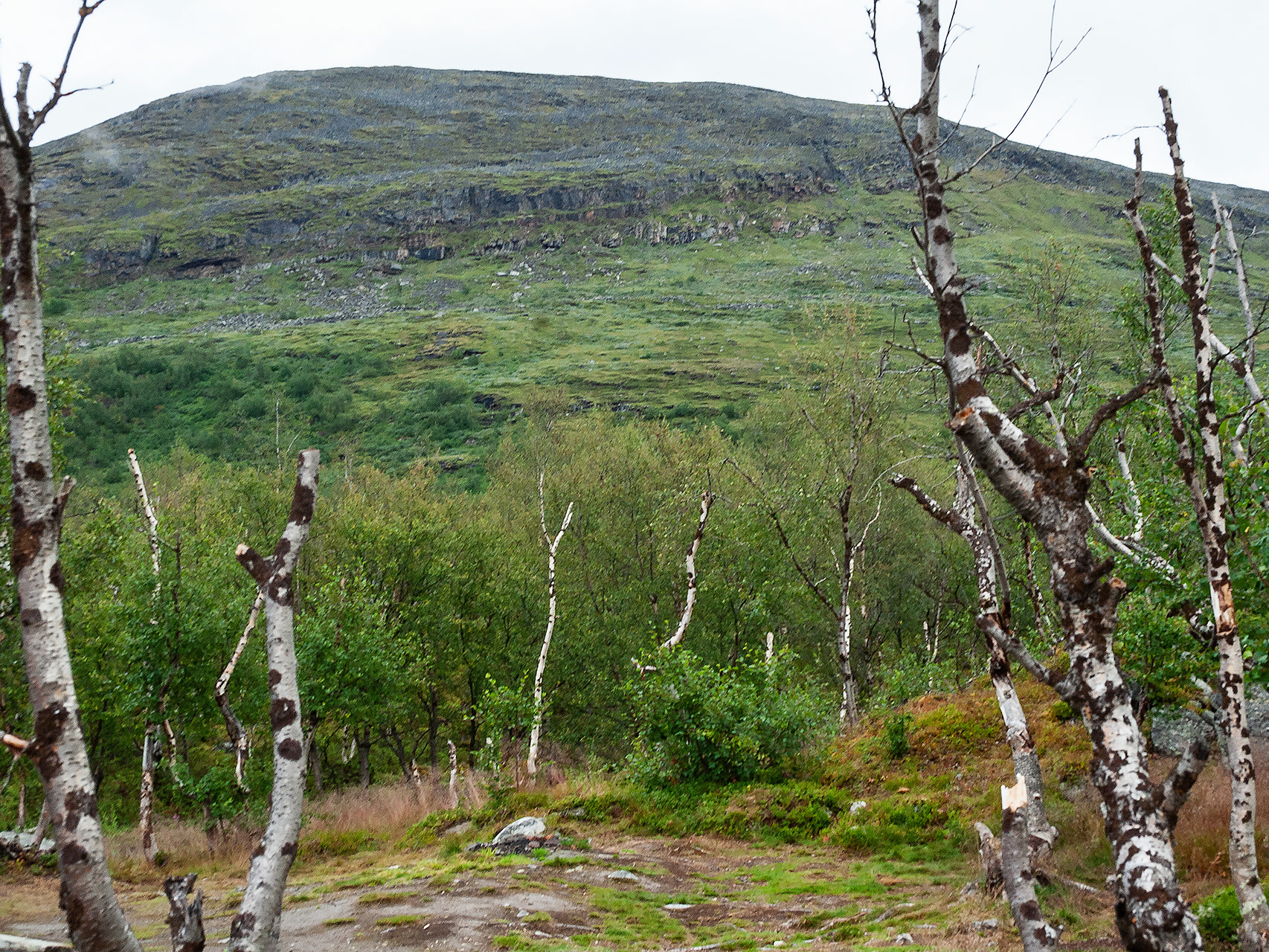
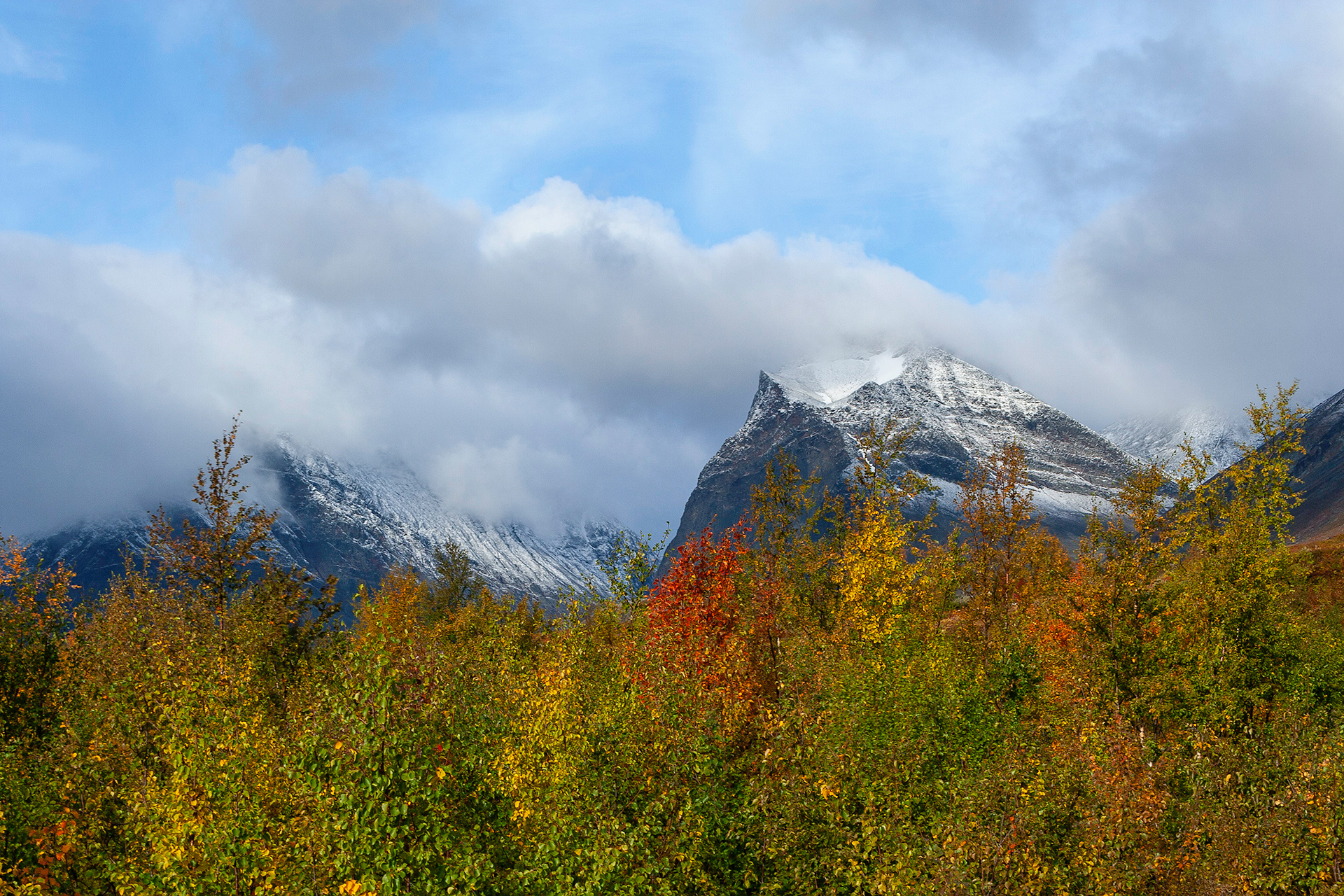
Portal to Kungsleden and Njulla fjeld in the background.
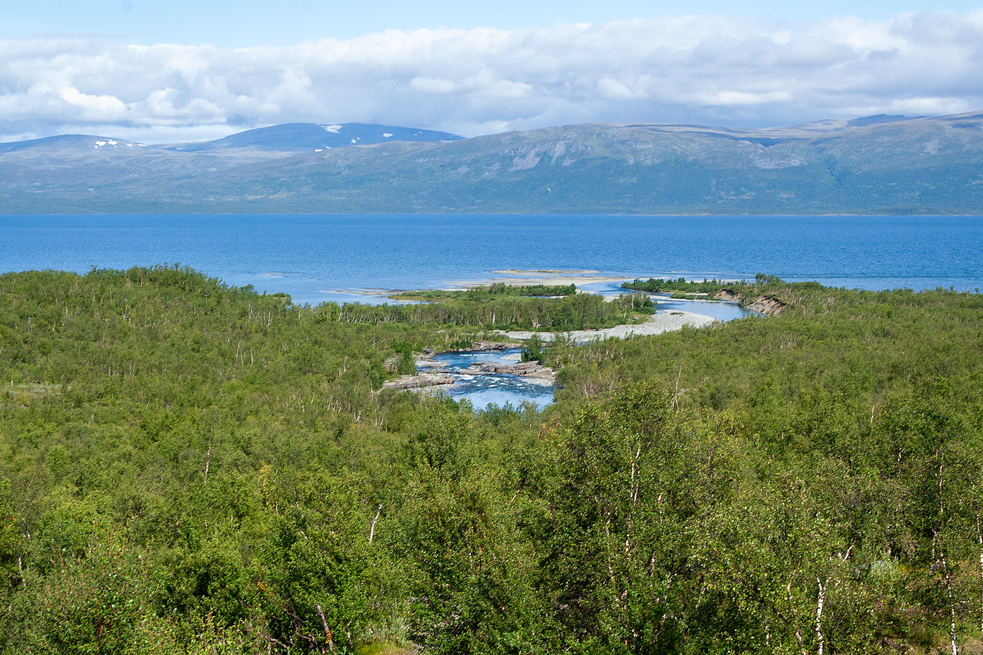
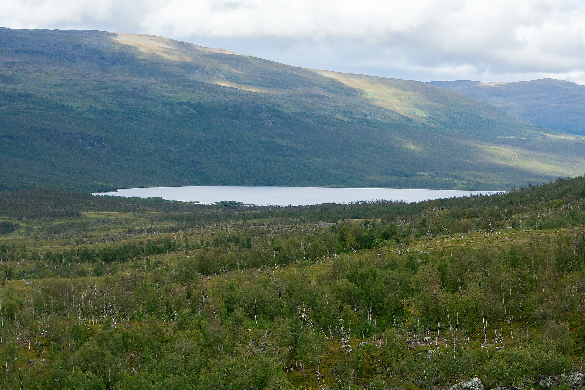
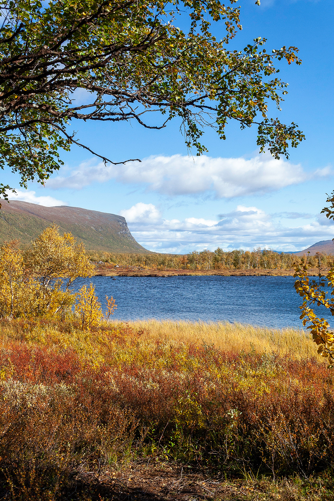
Abisko River Delta and Lake Torneträsk.
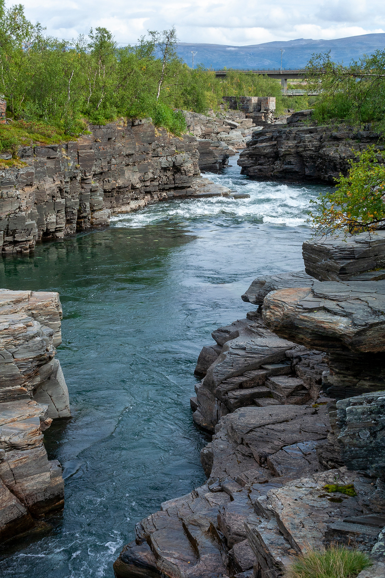
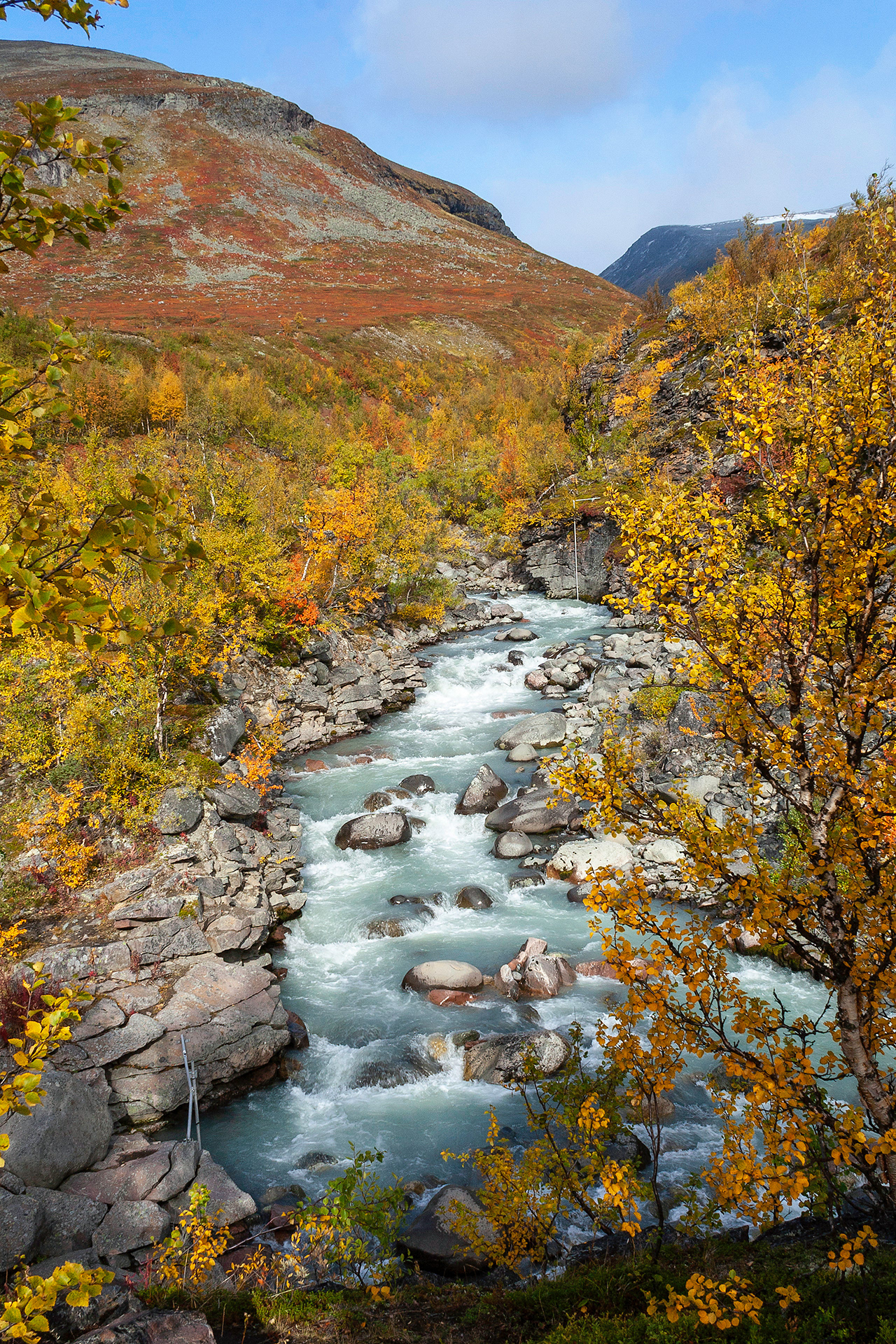
The canyon of River Abisko downstream.

The canyon of River Abisko upstream. You can see the trial on the riverbank.
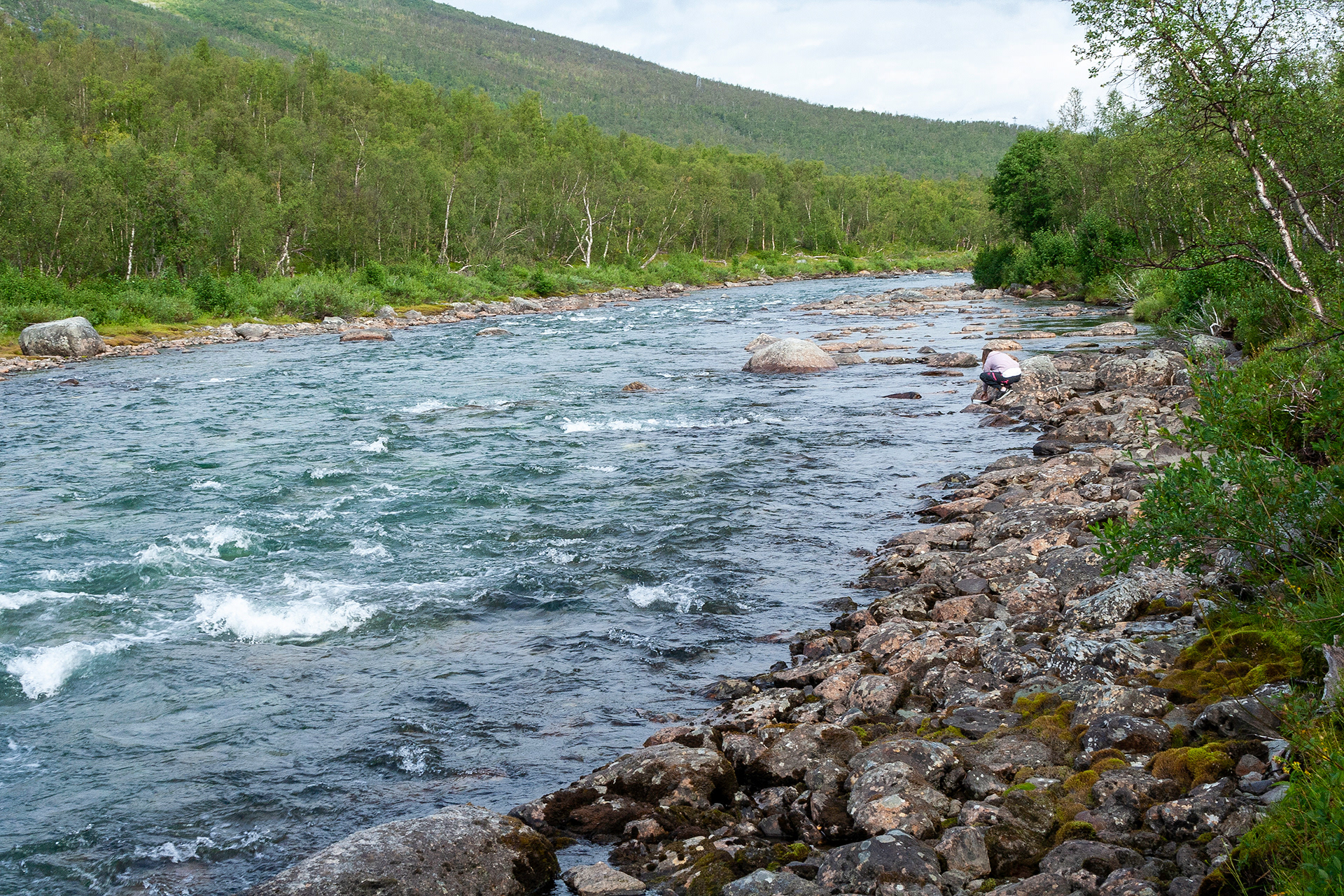
River Abisko, Ábeskoeatnu in Sámi.
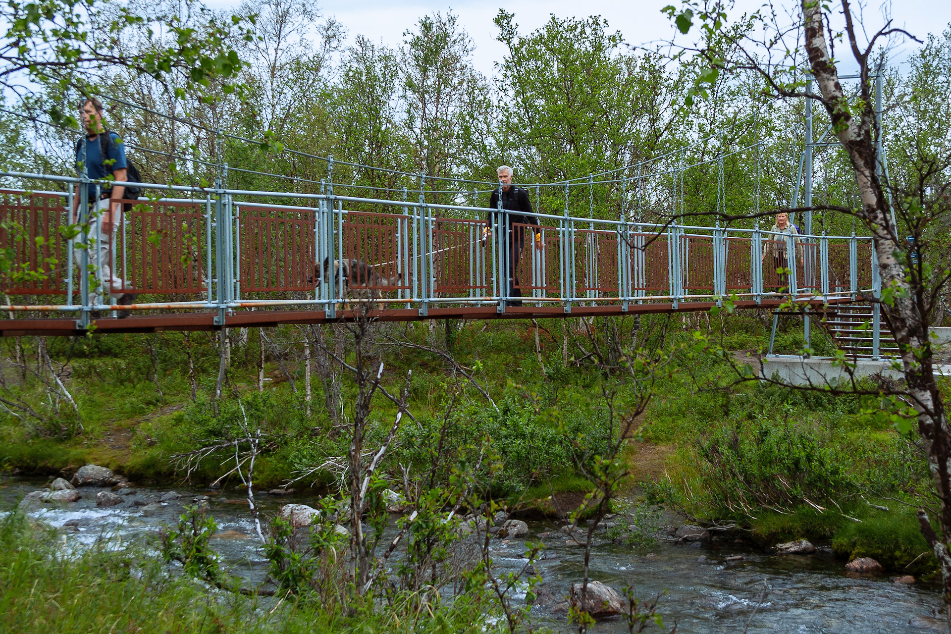
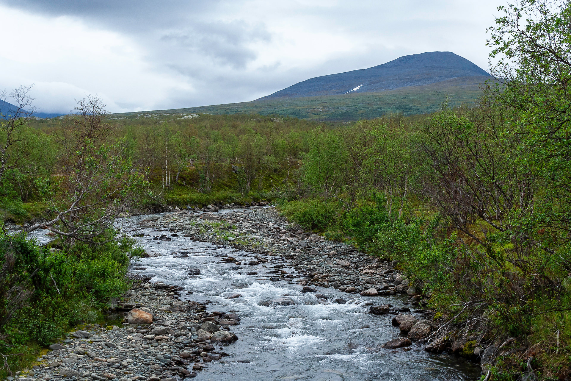
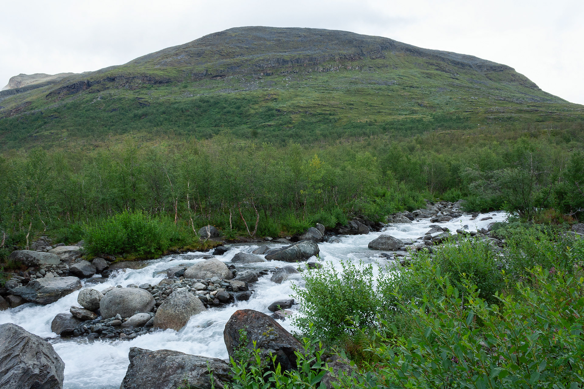
Bridge over Nissonjohka. The river brings meltwater from the slopes of Nissonvággi in southeast. Vággi is Sámi word for valley. Now, in the middle of August, the river water is quite shallow, but you can imagine the situation early in the spring.
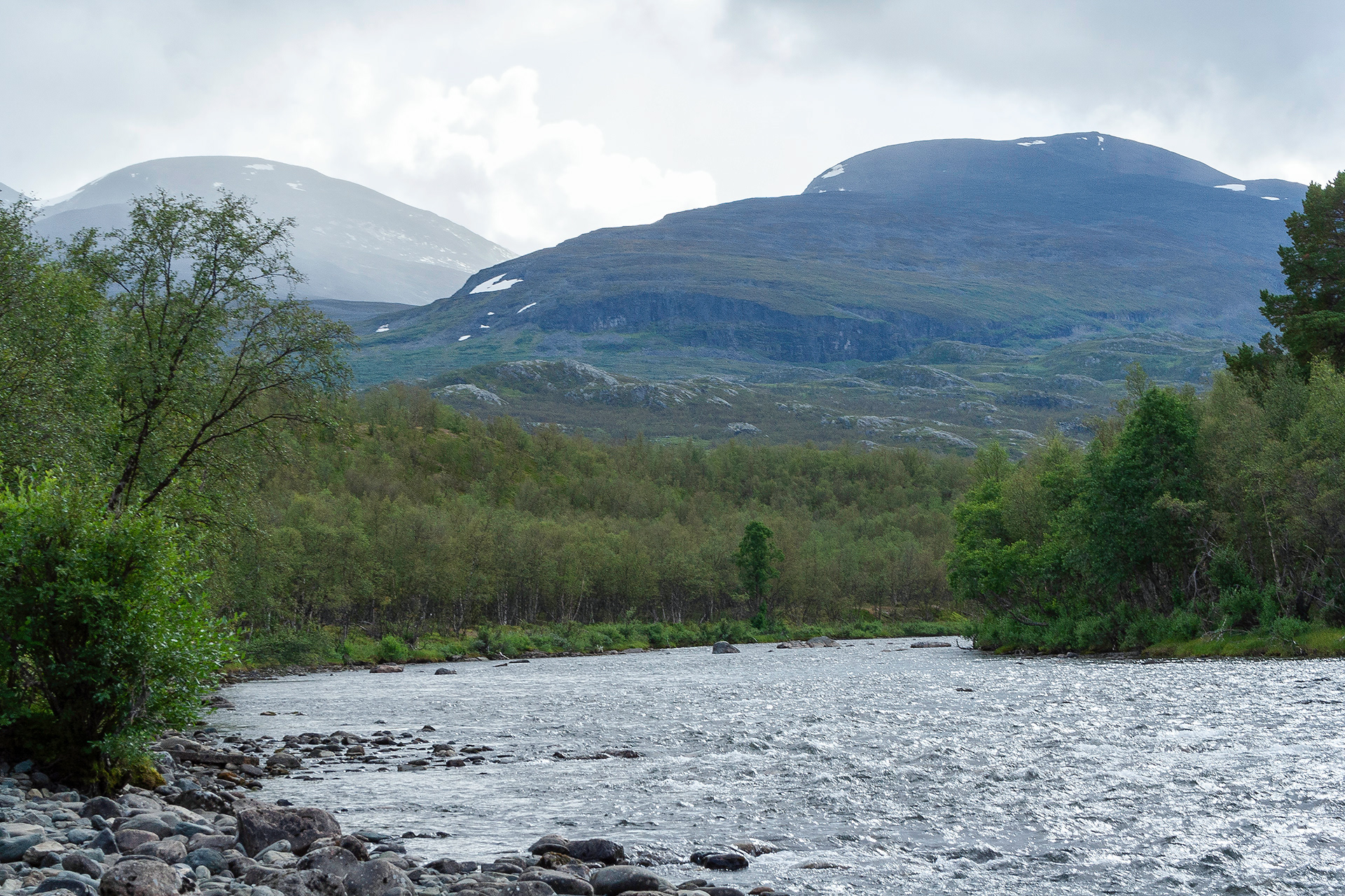
River bend.
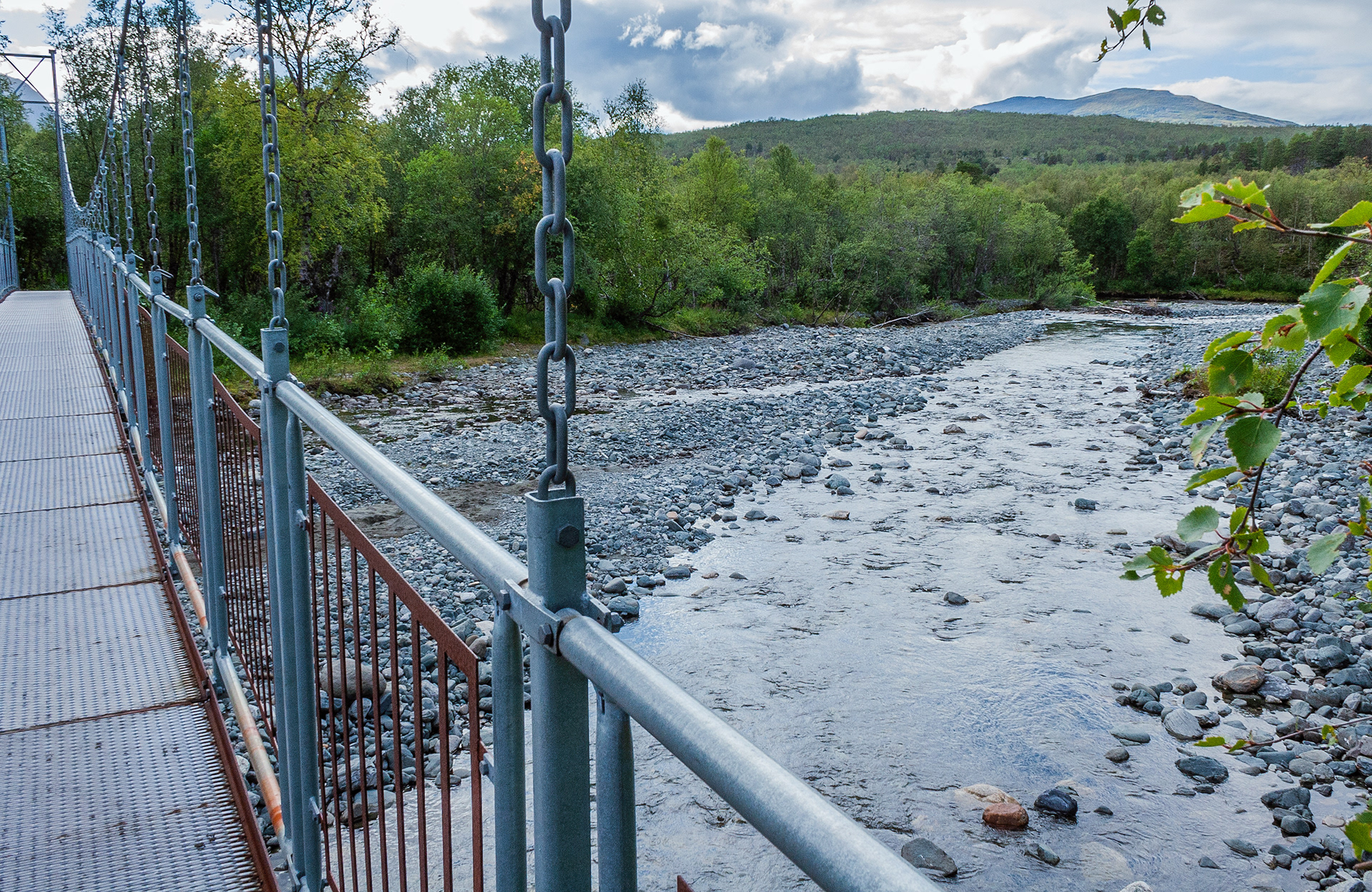
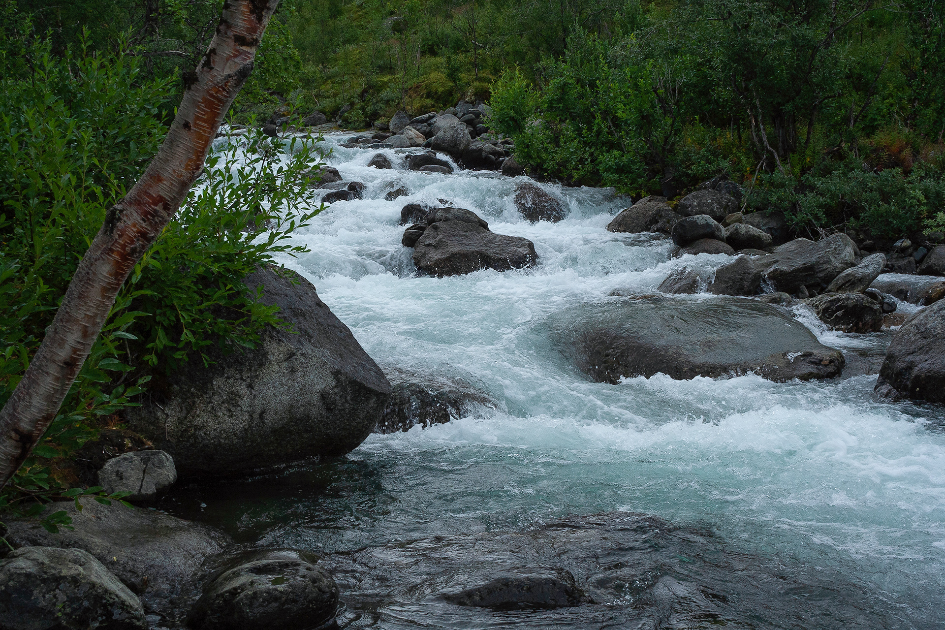
Bridge over Ballinjohka. This river, in turn, brings meltwater to Ábeskoeatnu from the slopes of Ballinvággi.
Ballinjohka upstream.
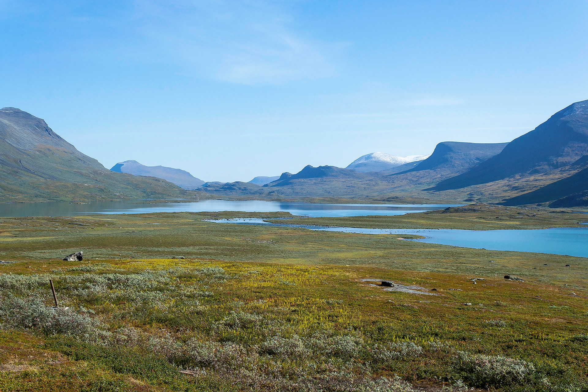
Ábeskoeatnu widens before launching into Lake Ábeskojávri.
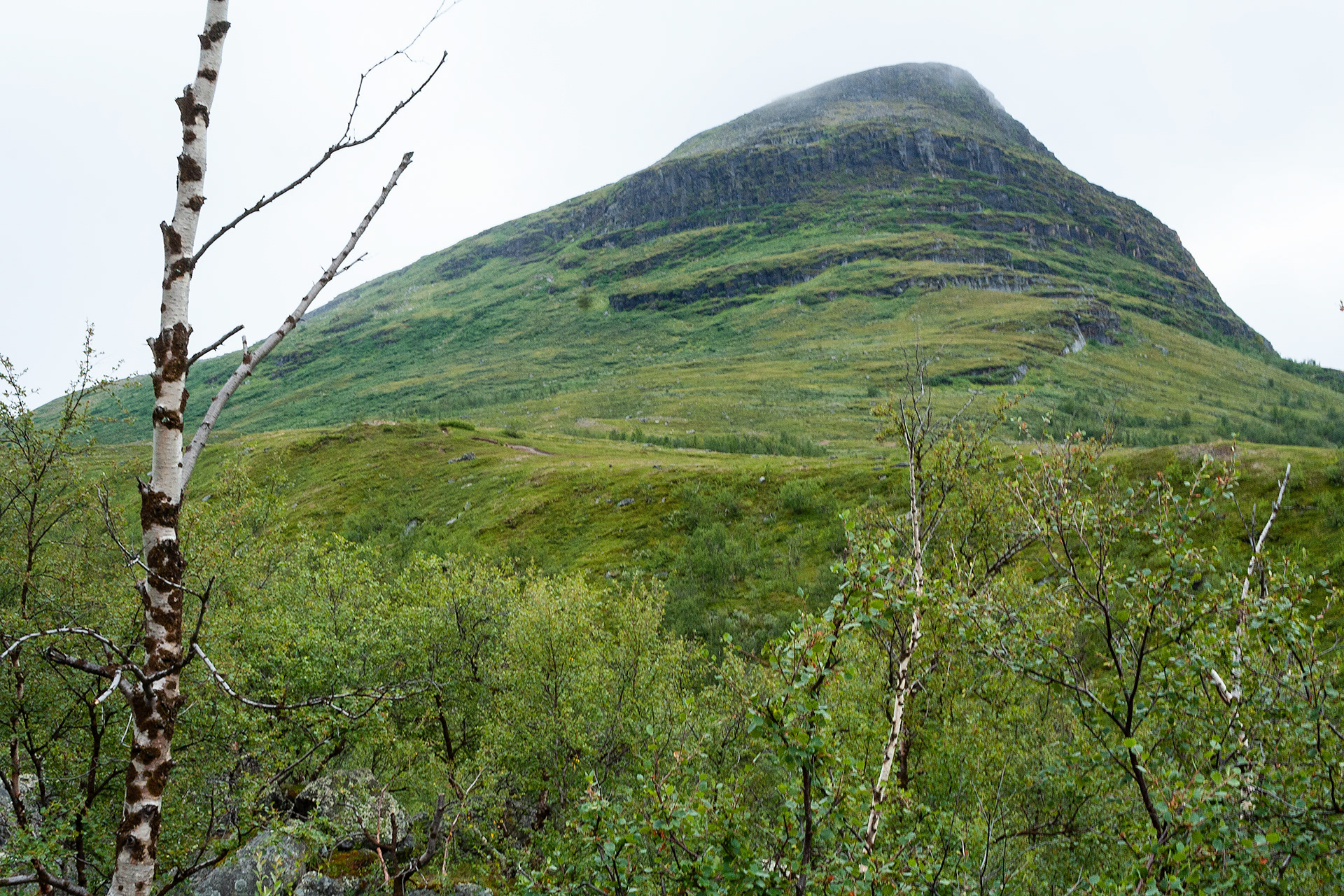
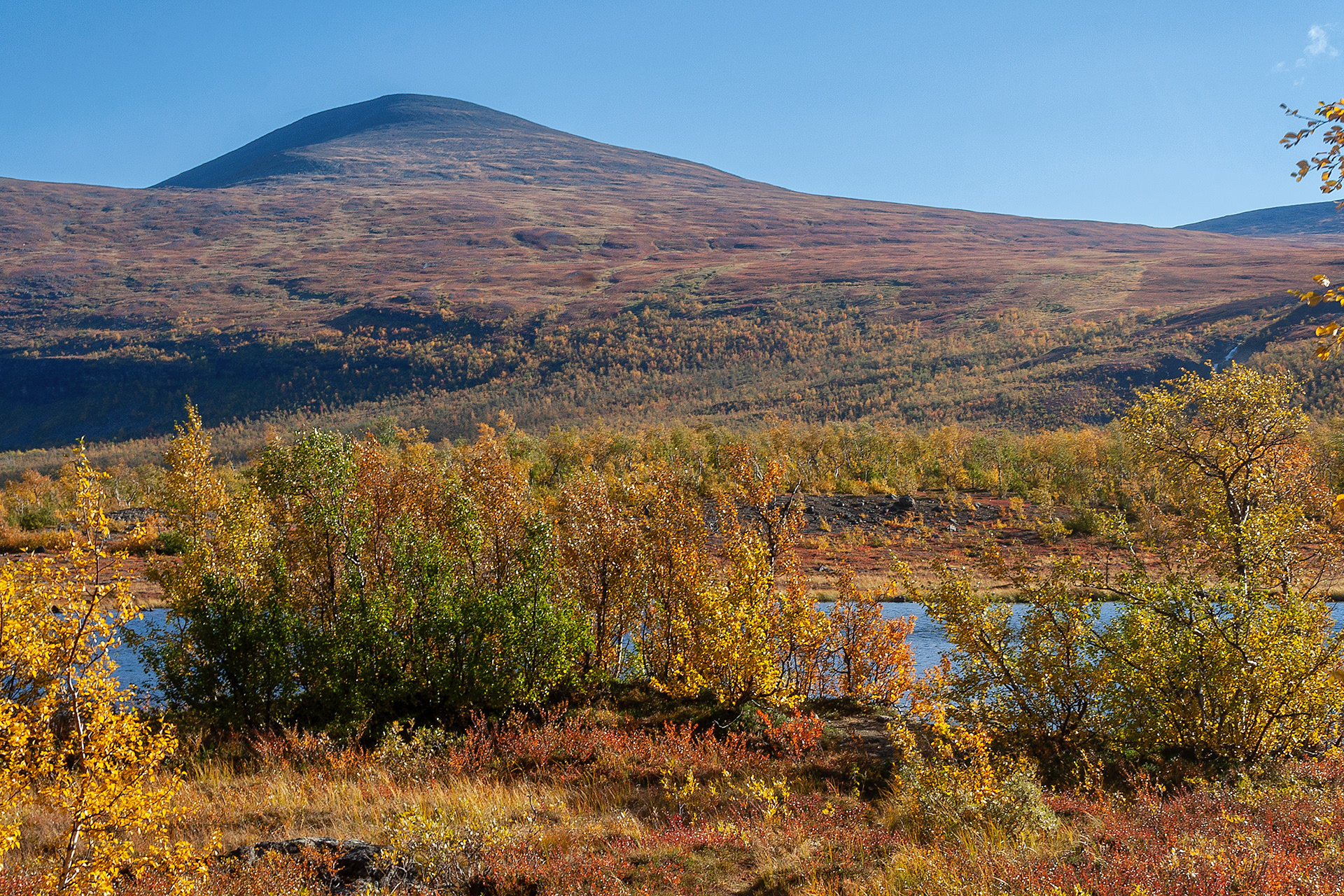
Mount Giron, 1551 m, on the southern end of Àbeskojávri.
Adnjetjårro massif and one of its tops, Šiellanjunni, 1461 m.
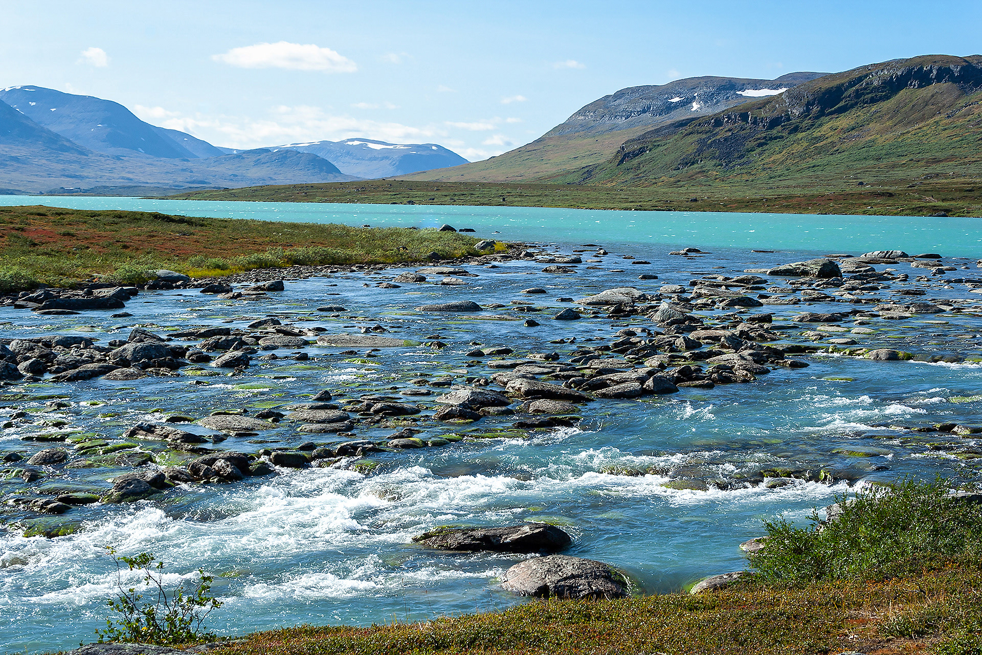
Šiellajohka, which flows in Šiellavággi between Mount Giron and Adnjetjårro massif.
Šiellajohka.
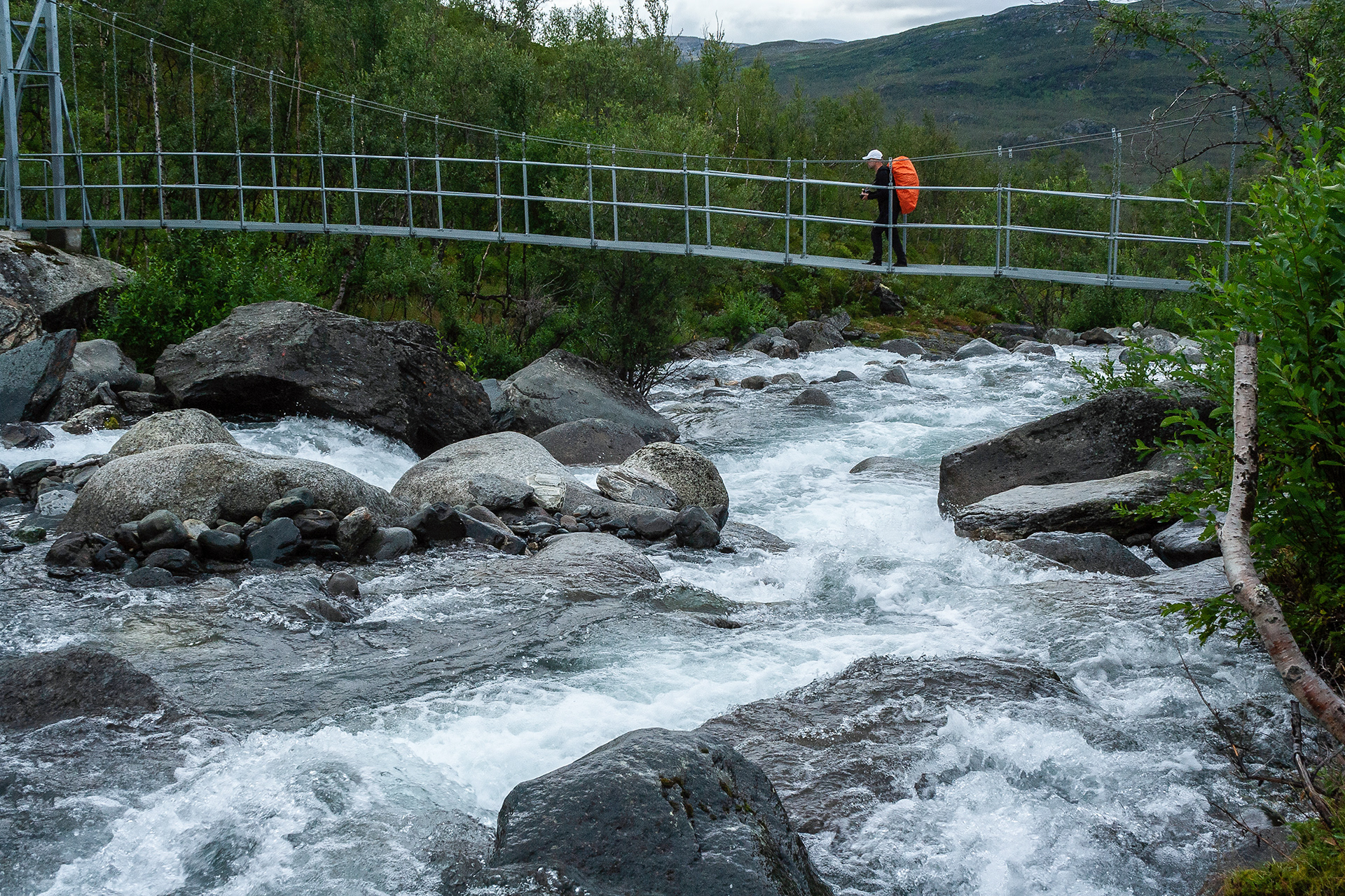
Bridge over Šiellajohka.
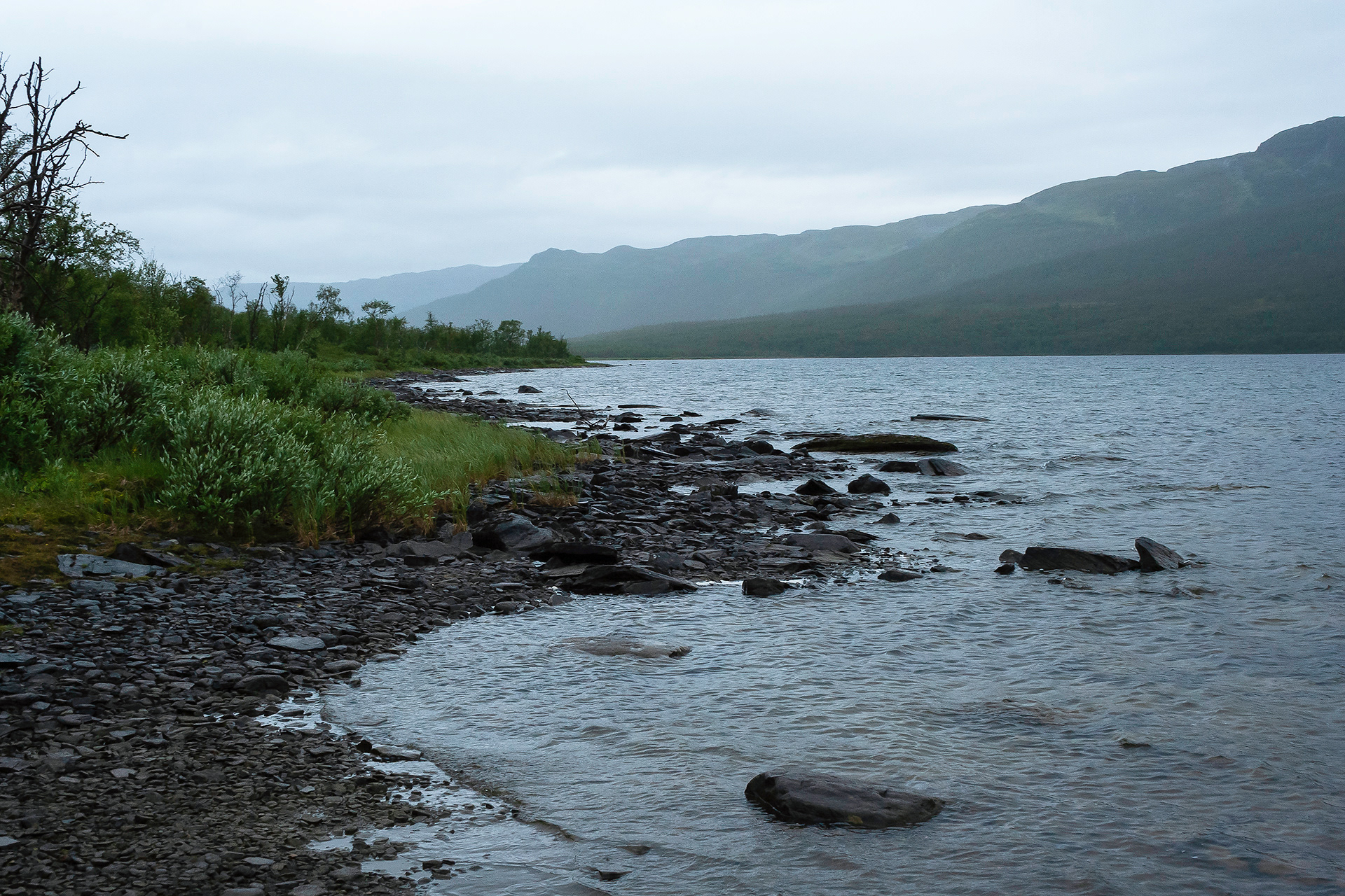
Ábeskojávri.
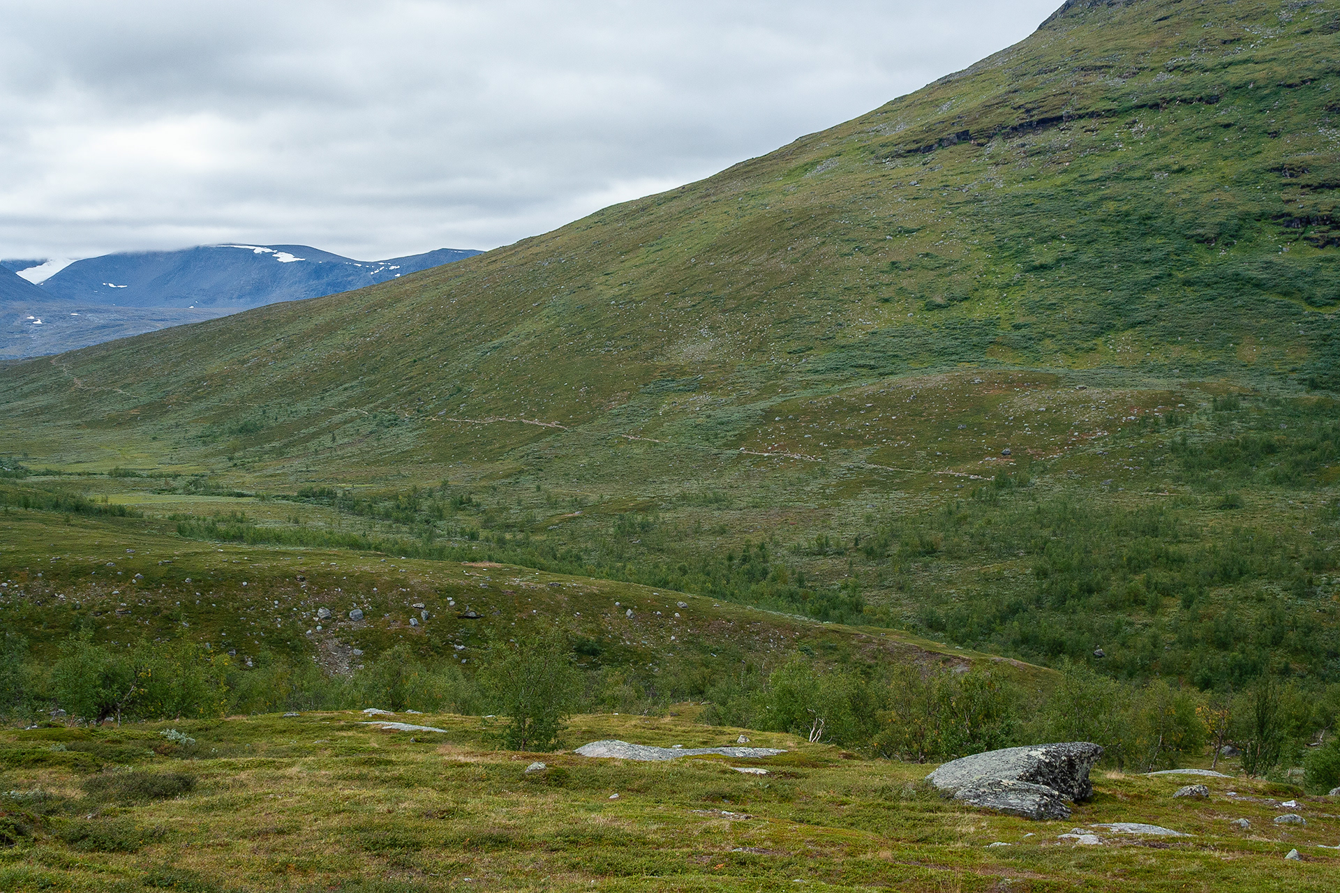
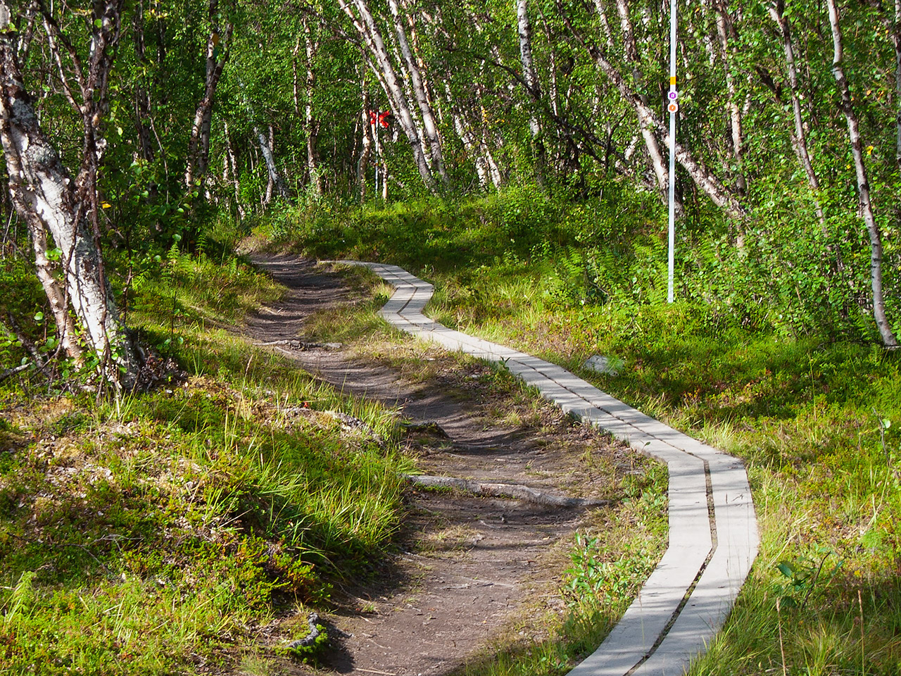
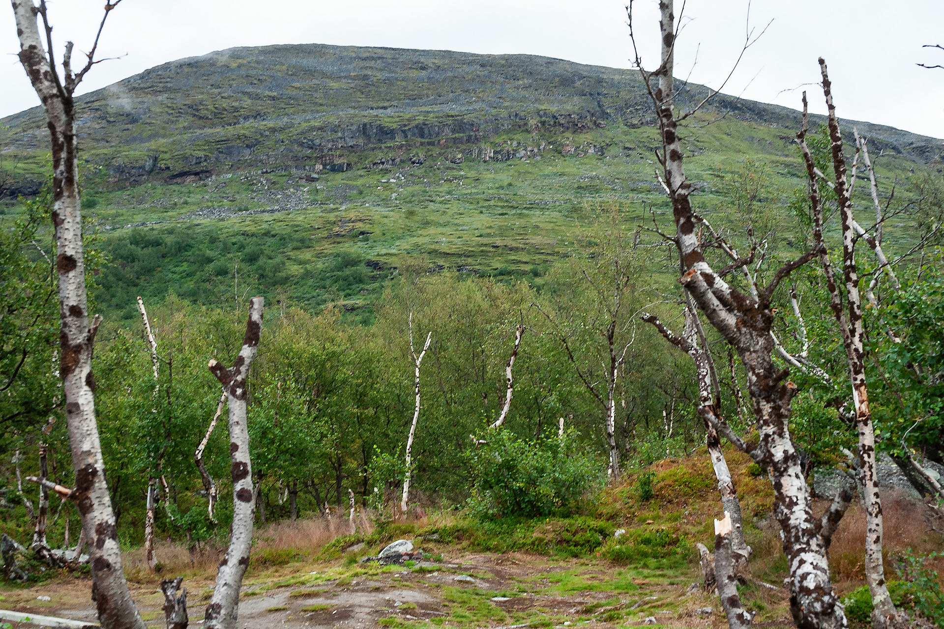
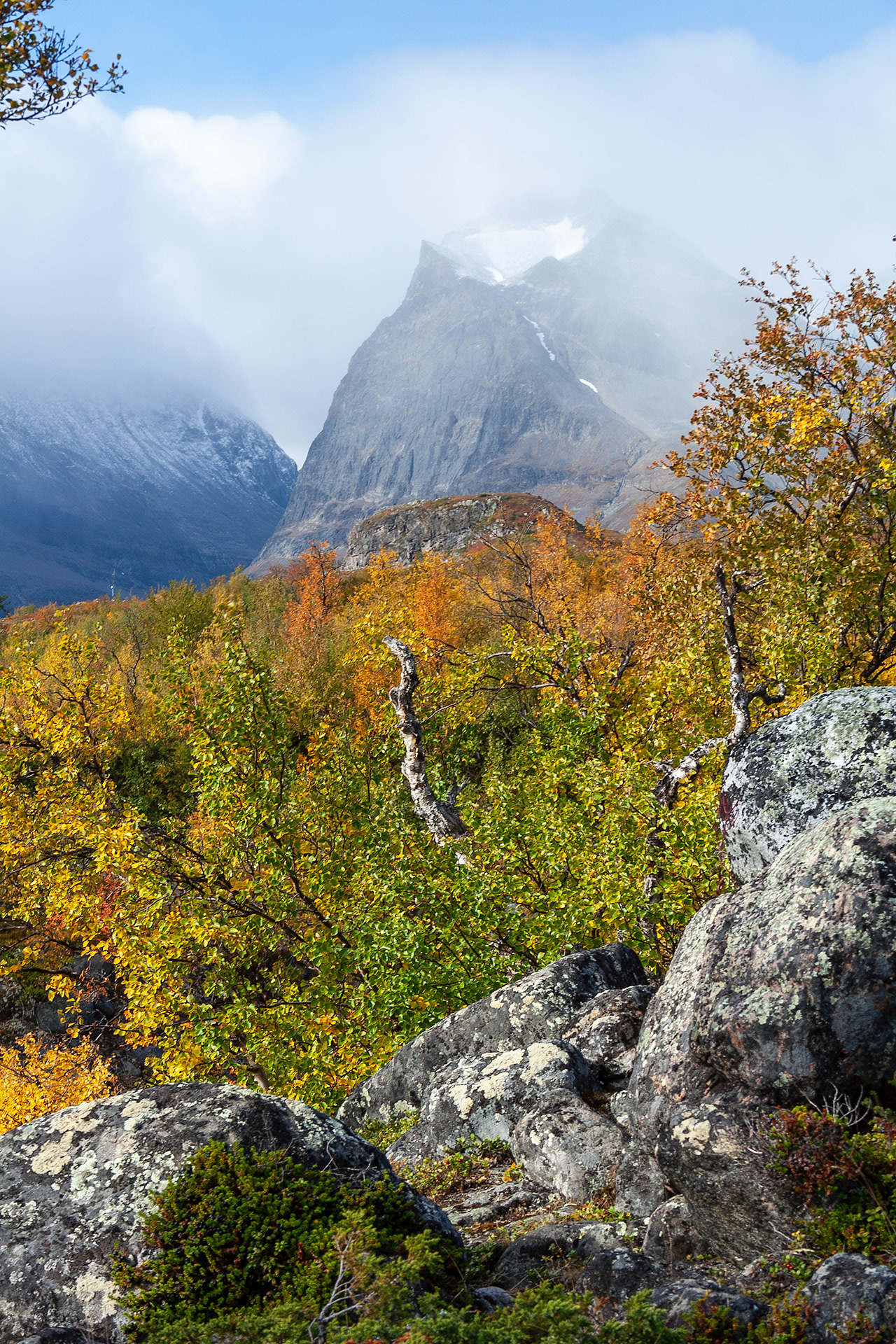
The trial on open fjeld.
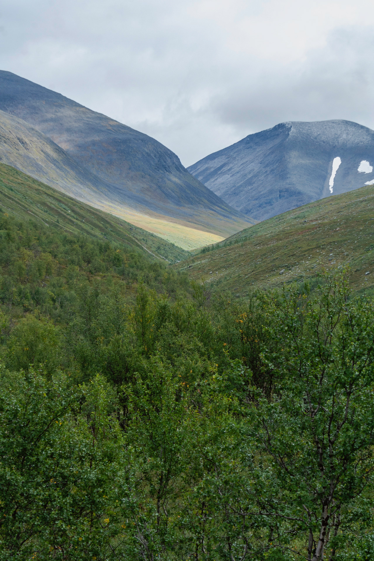
Gárddenvággi, vággi is Sámi word for valley.
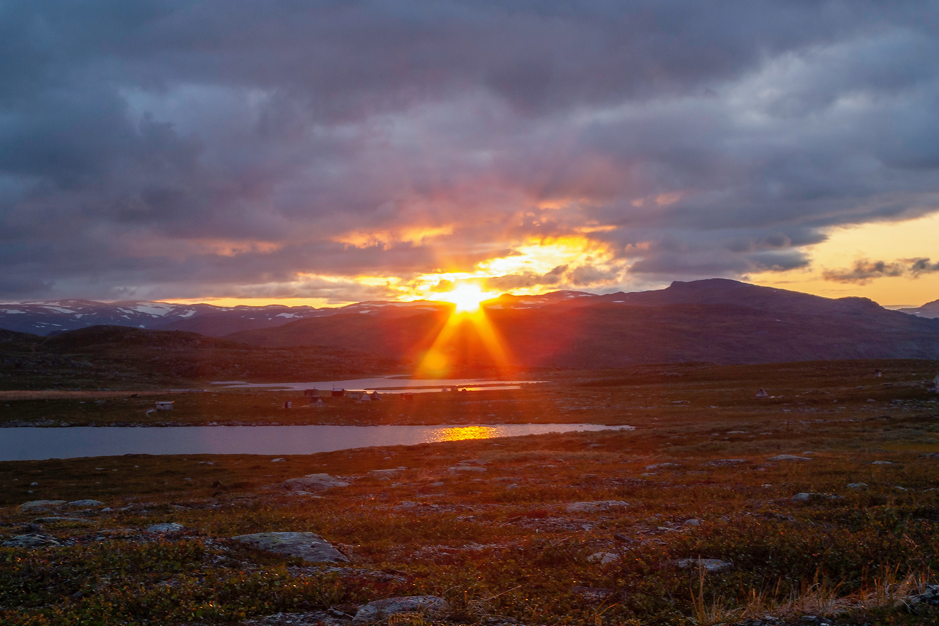
Sámi summer village in sunset.
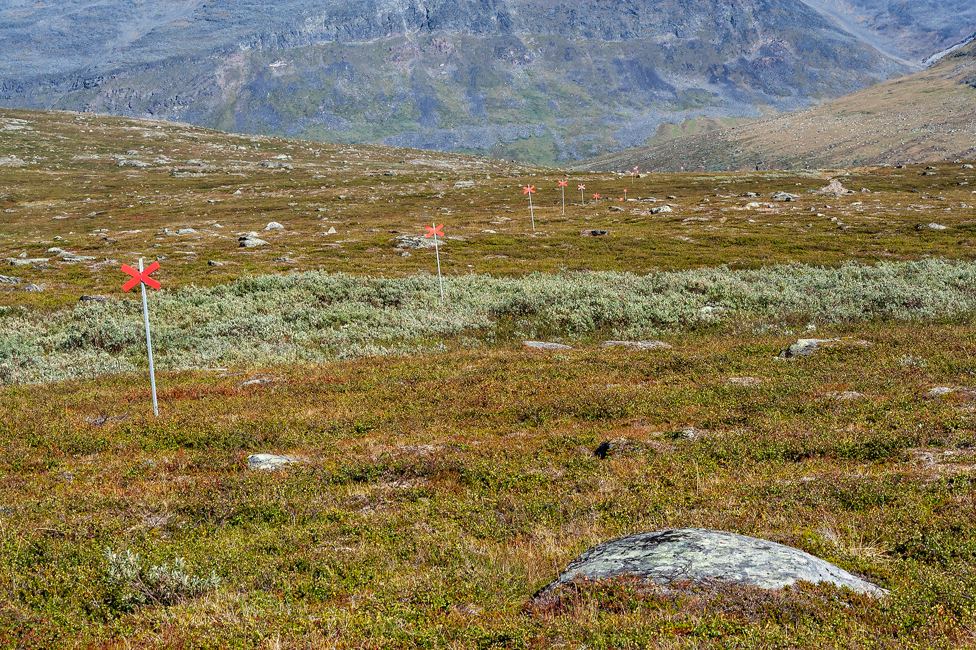
Winter trail.
Áhpparjávri.
The rapid between Rádu- and Alisjávri.
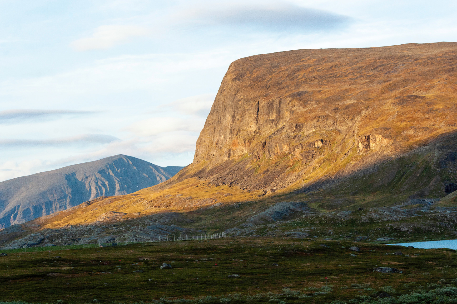
Njuikkostakbákti in sunset.
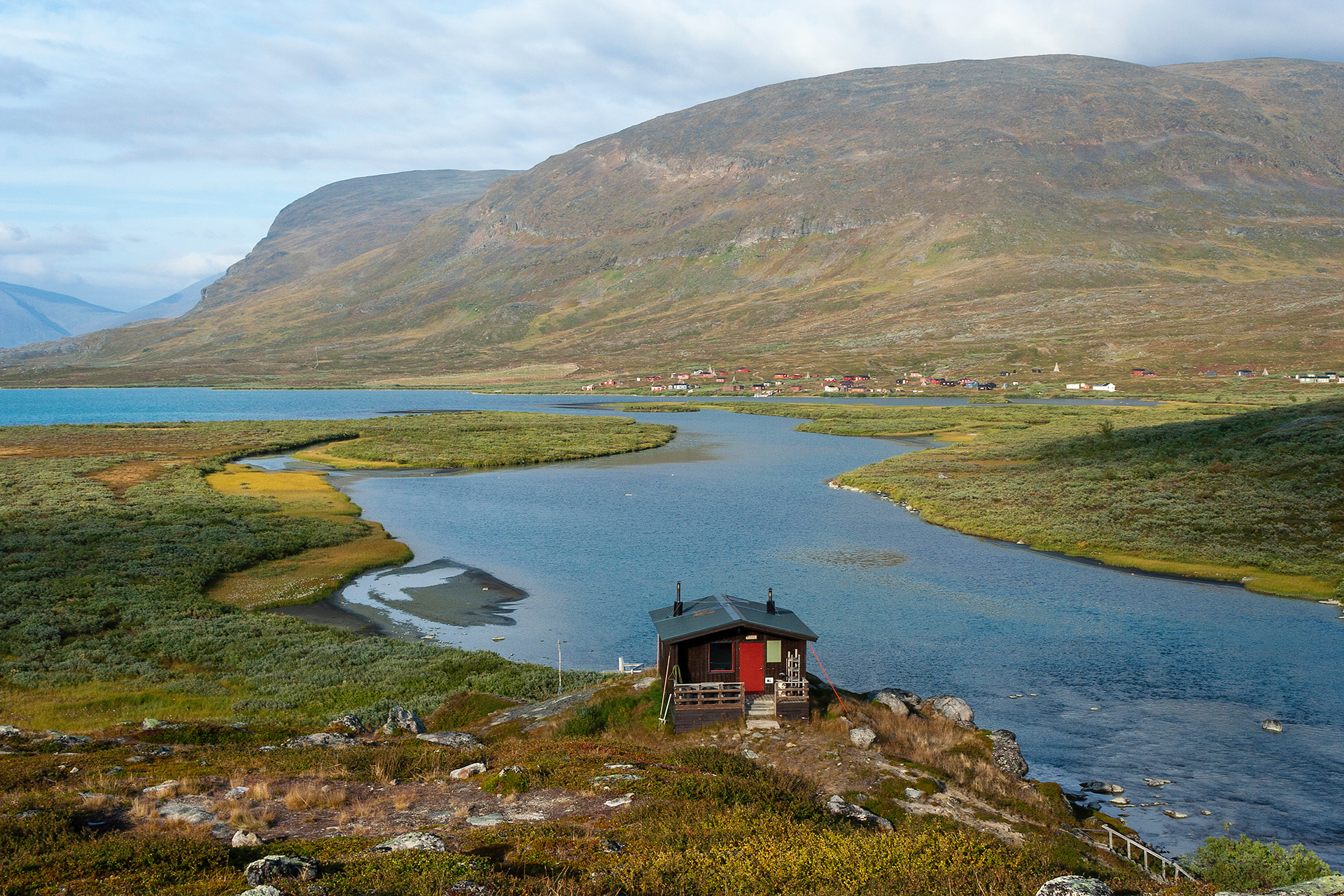
The sauna of Alisjávri huts and Sámi summer village of Laevas.
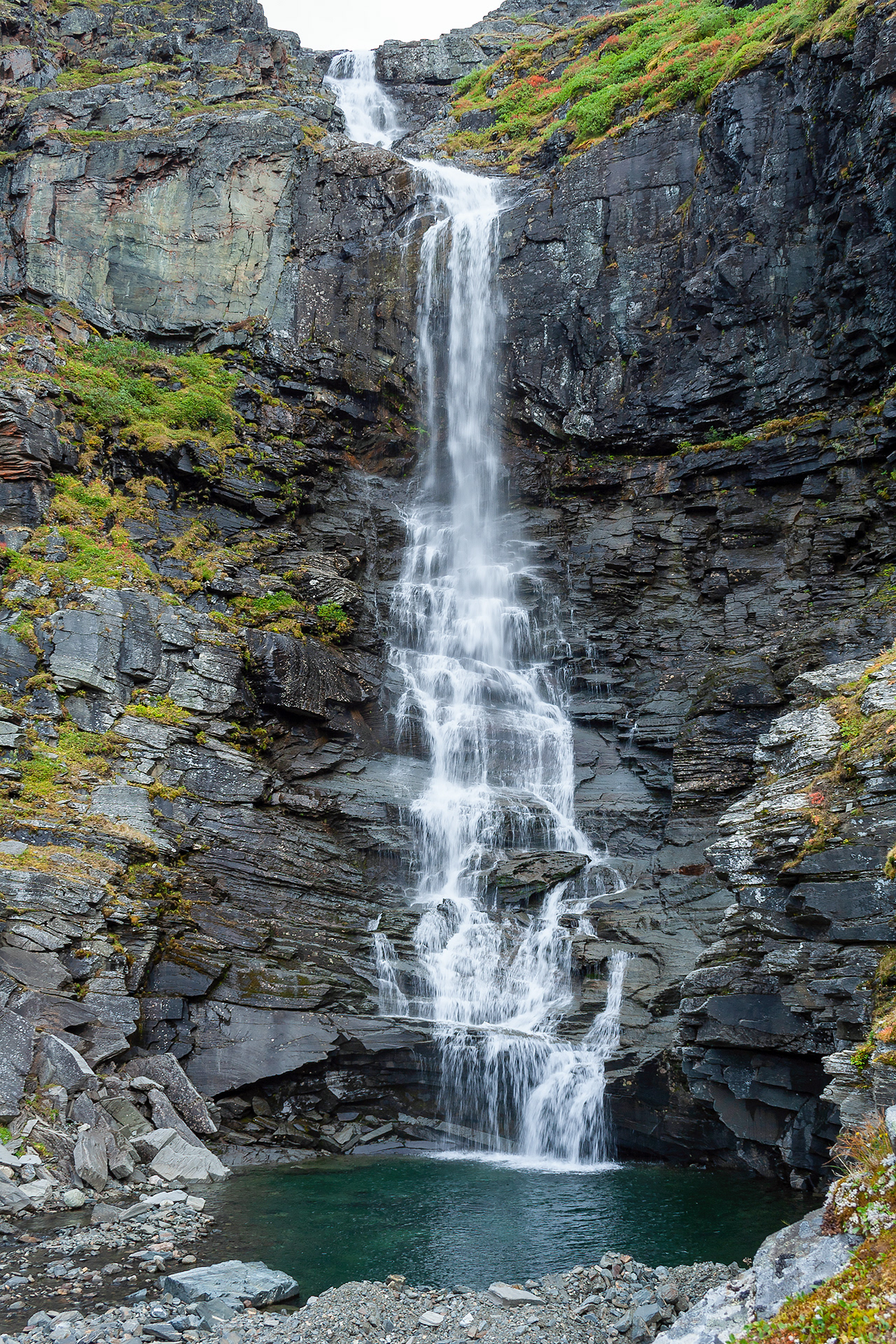
Fantomenfalls on the east bank of Alisjávri from the slopes of Njuikkostakbákti.
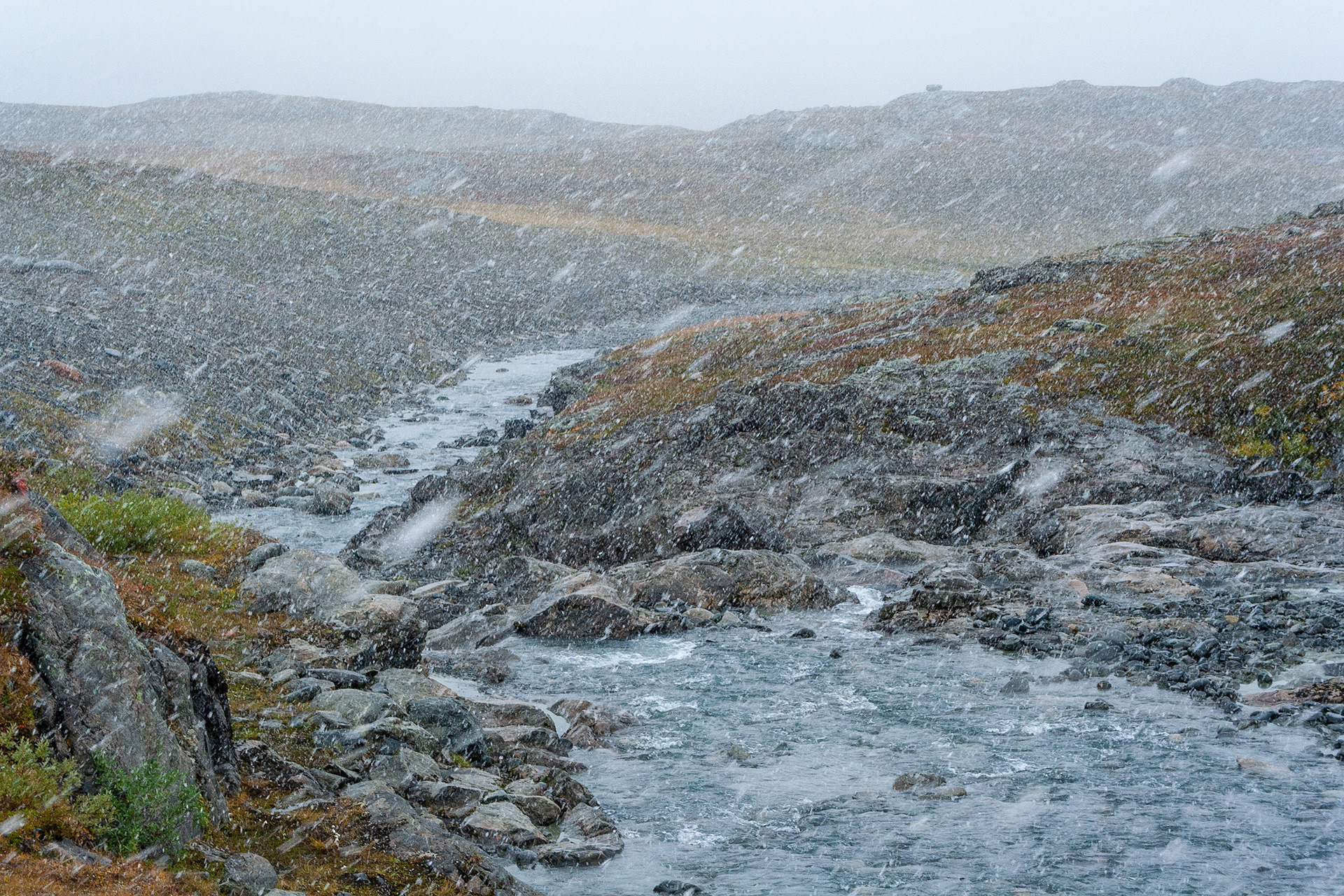
Bossosjohka.
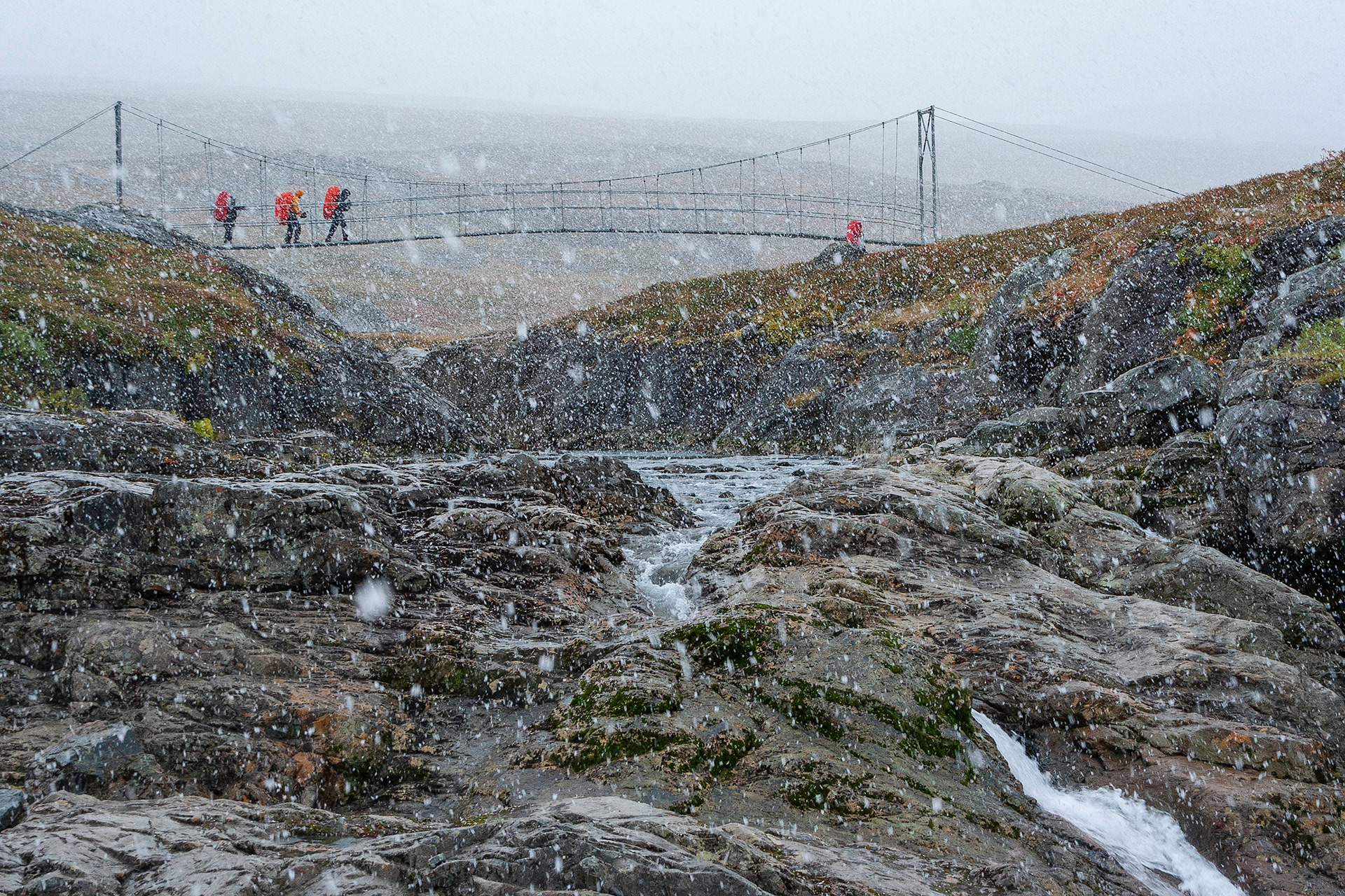
Crossing Bossosjohka.
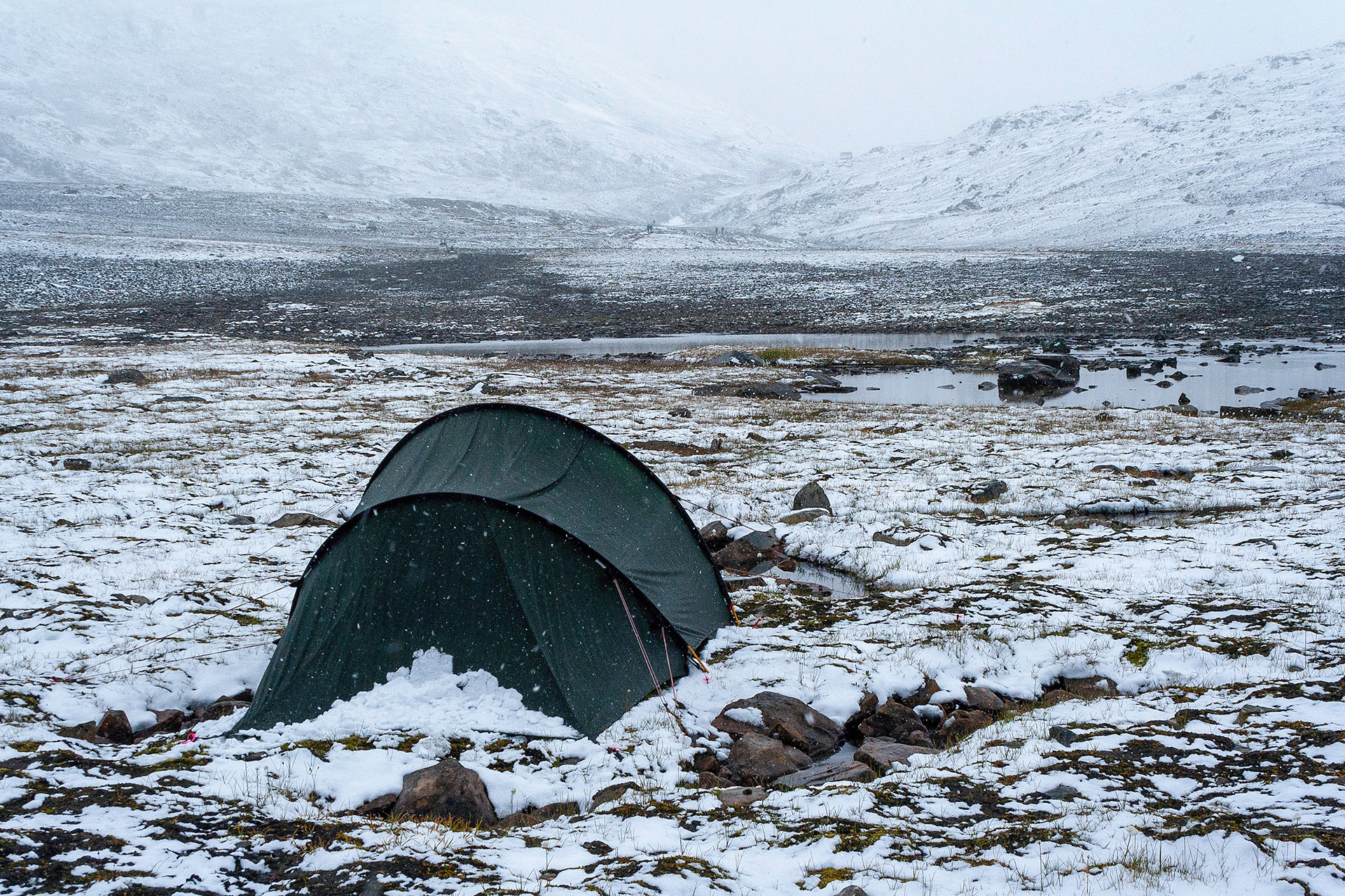
Wet and chilly morning before Tjäktjapass (1141 m).
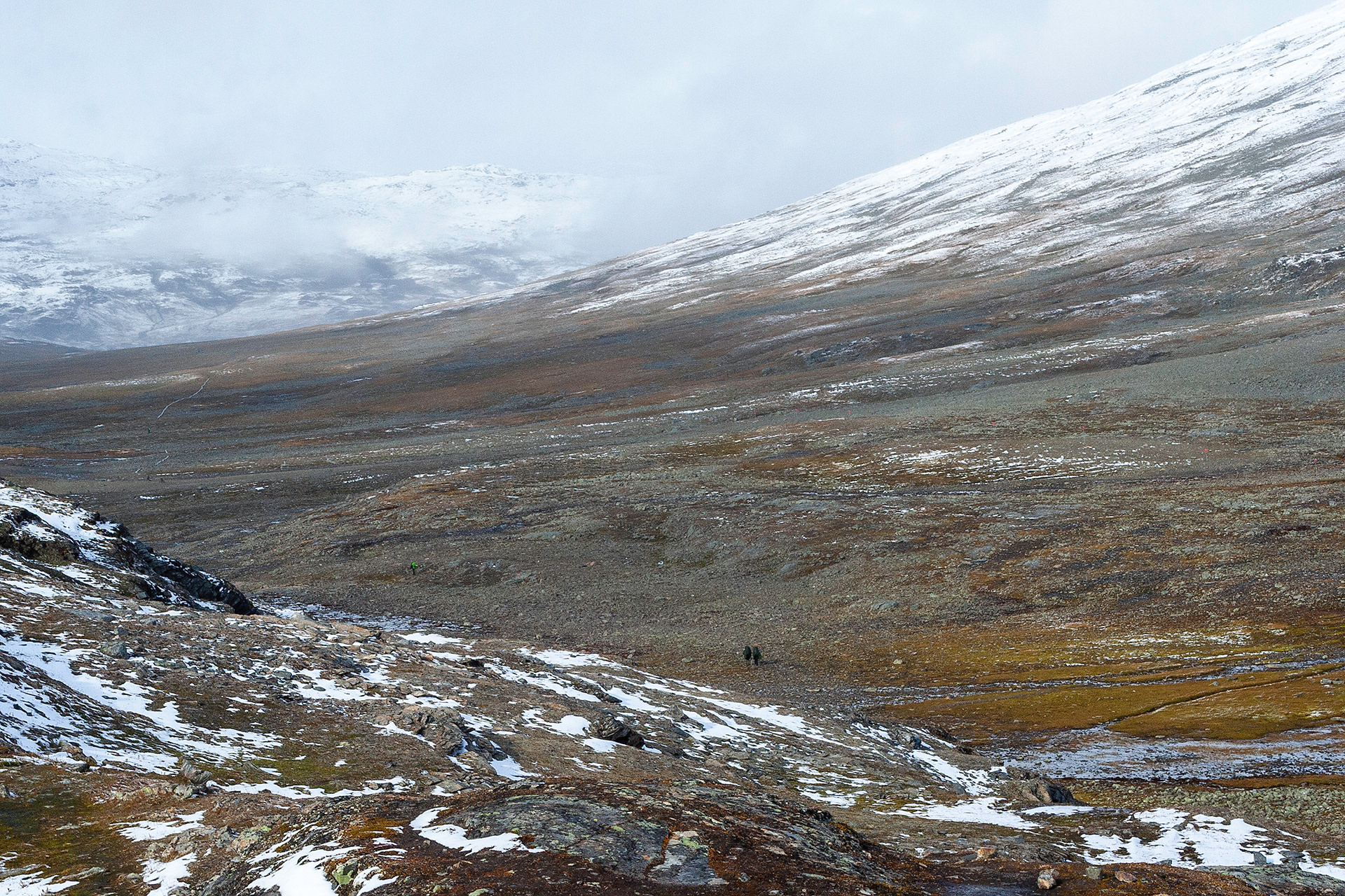
View to the north to Alisvaggi from Tjätjapass.
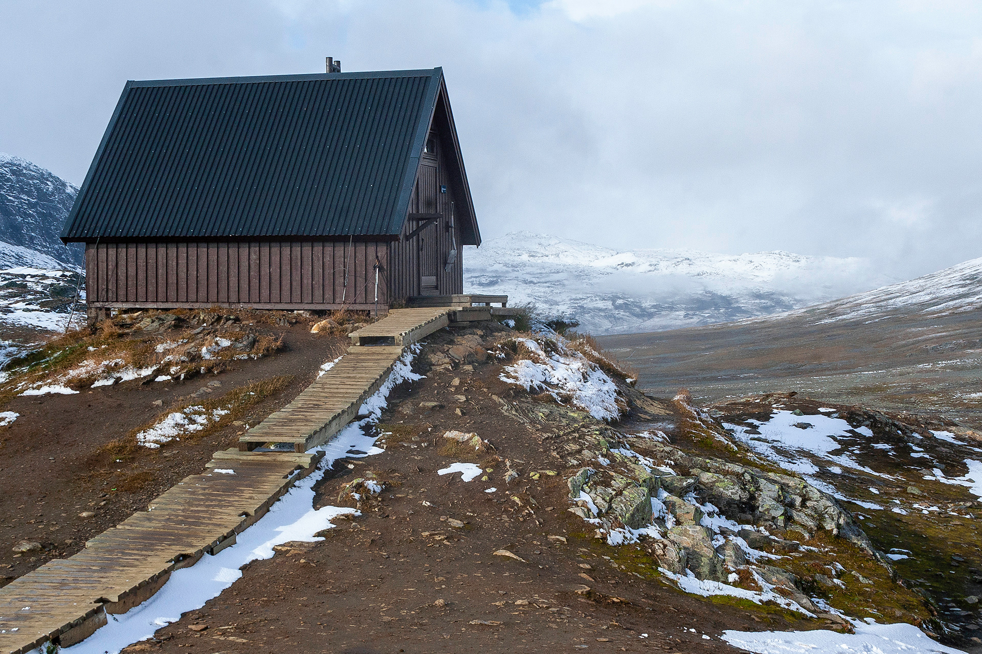
Rest hut in Tjäktjapass.
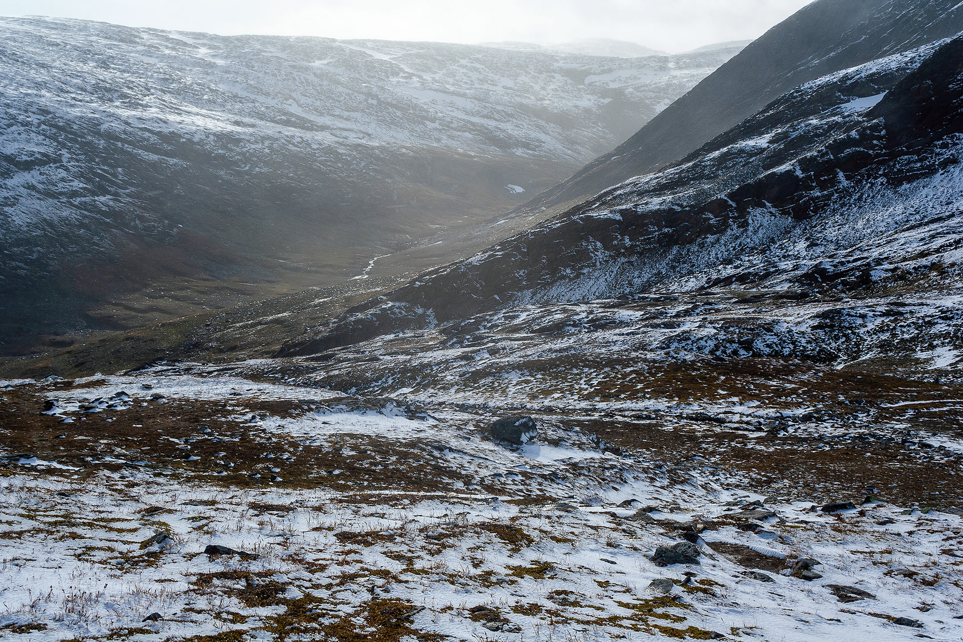
View to the south to Tjäktjavagge from Tjätjapass.
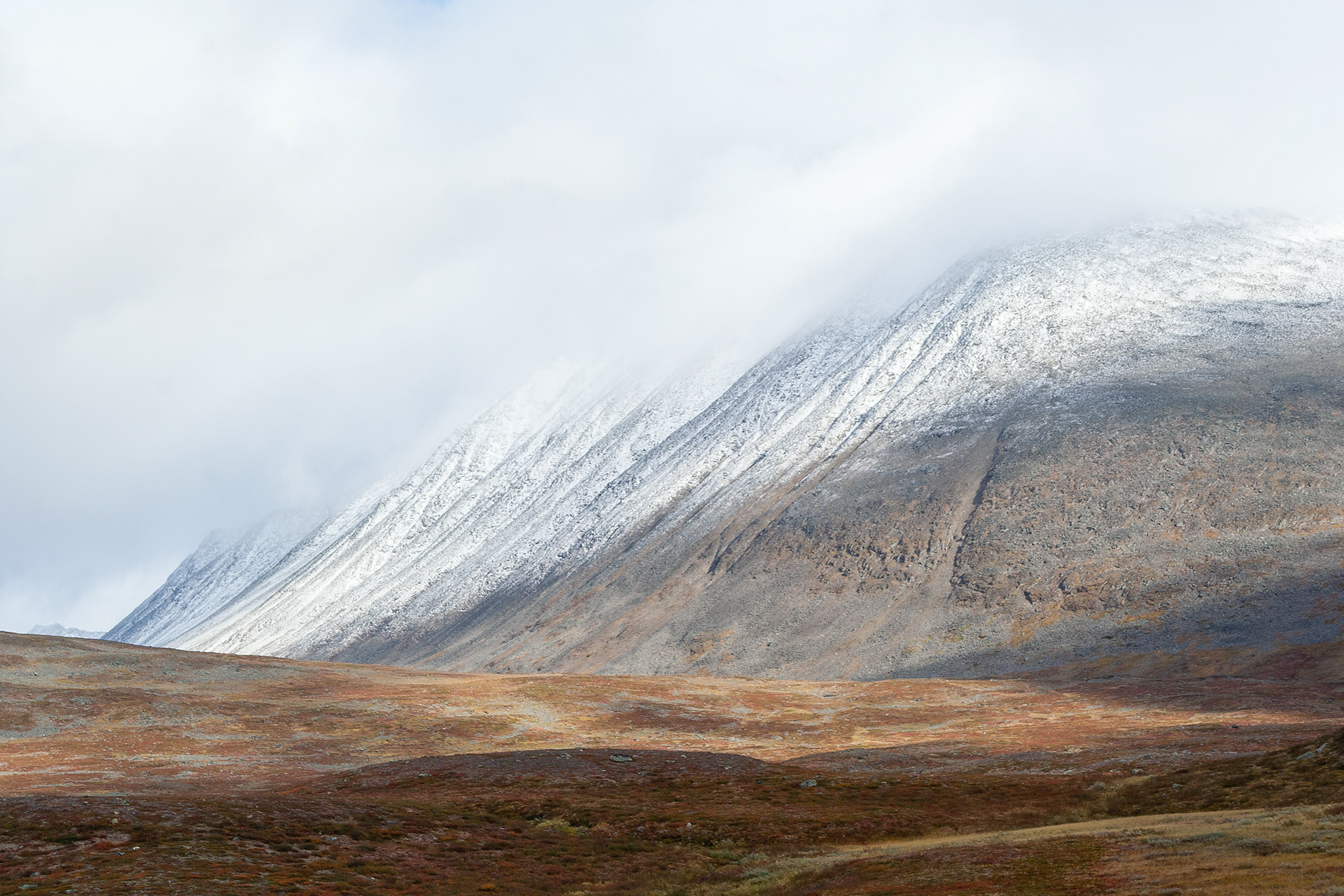
Tjäktjavagge.
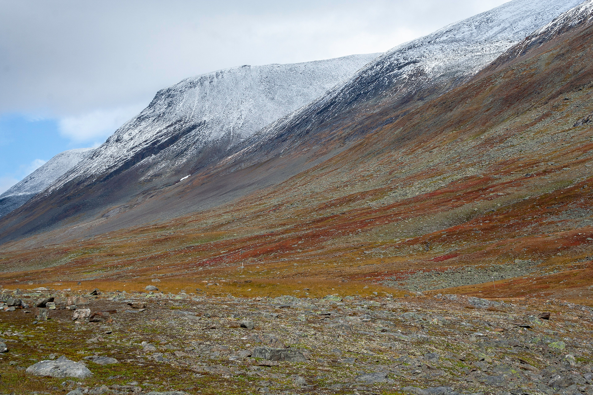
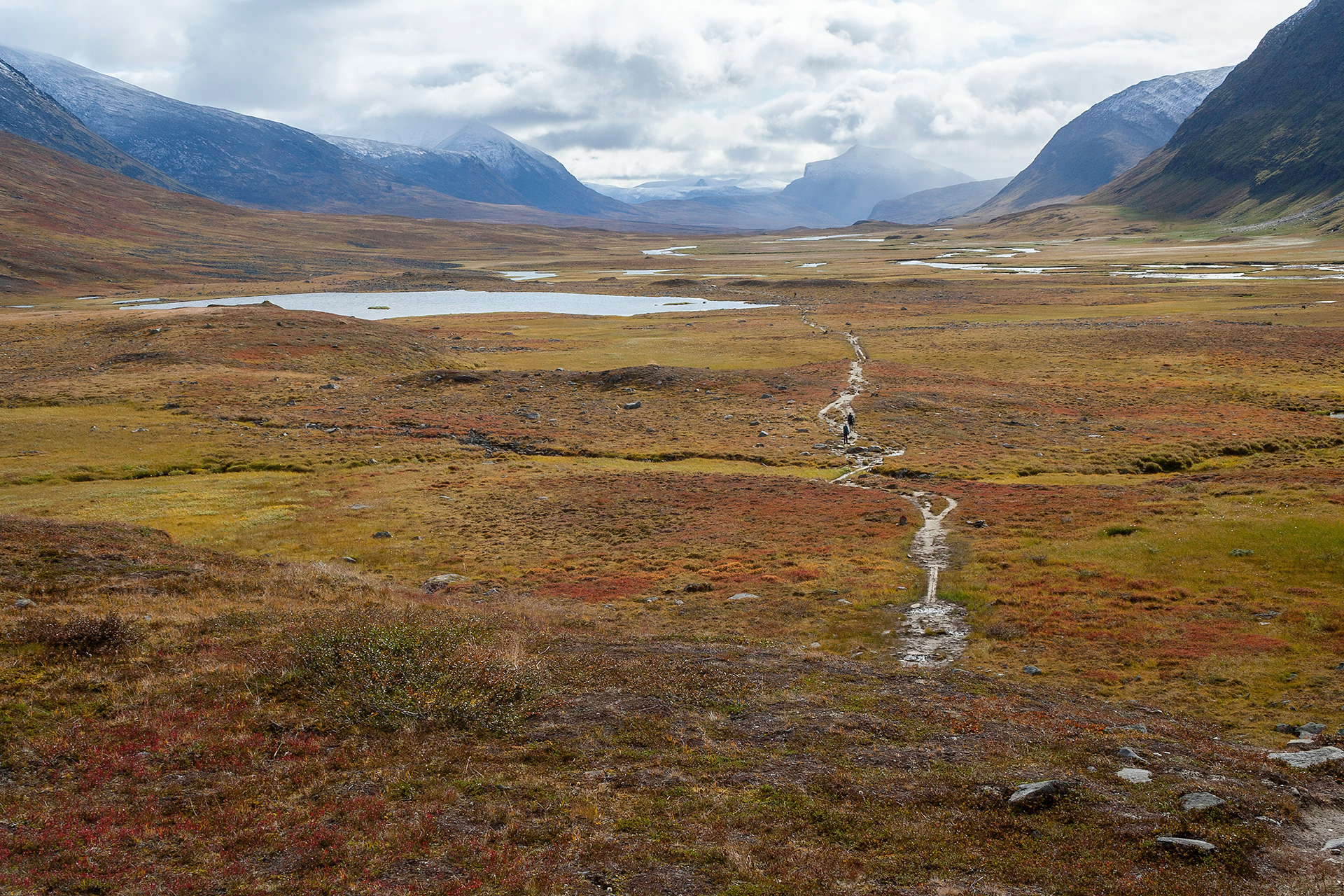
The slopes of Tjäktjavagge start to have autumn colors.
Slopes of Tjäktjavagge.
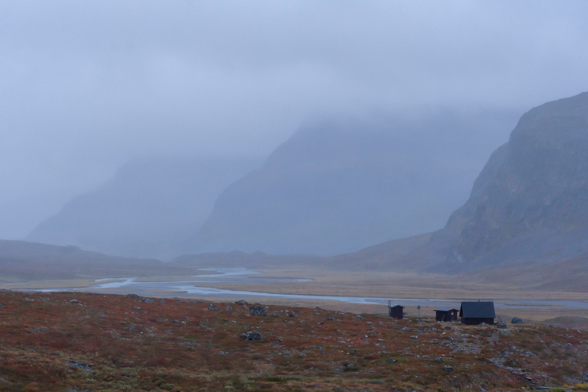
Rest shelter, Guobirjohka.
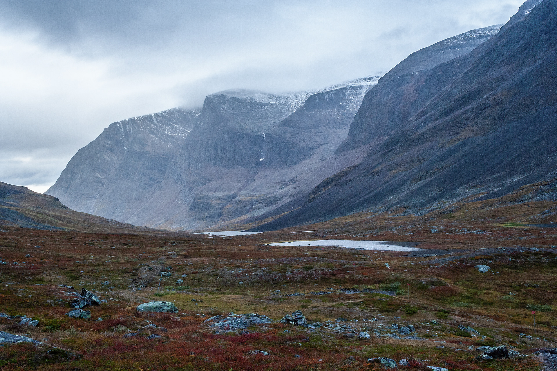
Láddjubahta.

Autumn colors in Láddjubahta.
Autumn colors and Mount Kebnekaise.
Mount Kebnekaise.
Darfáljohka.
Autumn colors on the way to Nikkaluokta.